
OddityDrop
All photo credits
PHOTO CREDITS & SOURCES

Why Isaias’s weakening winds did not end its flood threat

Science & Space

Read the story · View Instagram post

Reporting & fact-checking

[1] National Hurricane Center: Isaias Discussion 14, October 9, 2026 [2] National Hurricane Center: Isaias Advisory 15, October 10, 2026 [3] National Weather Service: Saffir-Simpson Hurricane Wind Scale [4] National Weather Service: Flood safety

Credits for the website imagery shown below.

THE IMAGES

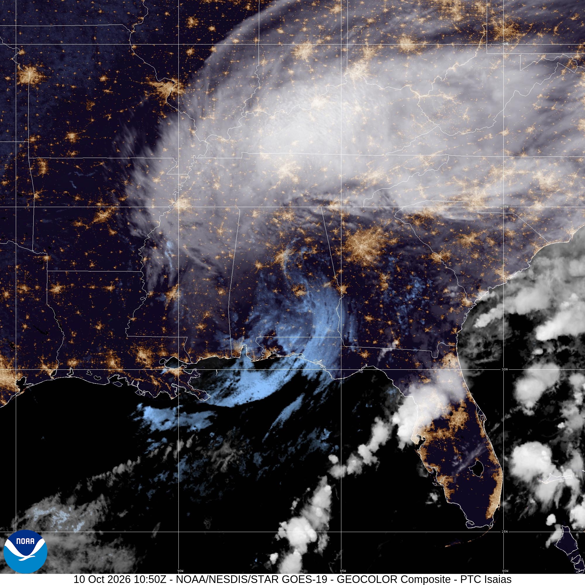
Historical GOES-19 satellite view of the Isaias cloud system over the southeastern United States on October 10, 2026.
IMAGE 01

Historical GOES-19 satellite view of the Isaias cloud system over the southeastern United States on October 10, 2026.

Creator / photographer
CIRA/NOAA; NOAA/NESDIS/STAR GOES-19
License / usage
NOAA STAR permits use with credit. NOAA content is generally public domain. Do not imply NOAA endorsement.
Changes
Original 2000×2000 satellite image uploaded unchanged, with no Instagram overlays. Responsive website hero and cards may crop it; exact image date/time and credits remain in the caption.
Original asset & source

Attribution matters.

Credit and permission are different things. A credit here does not grant permission to reuse an image. Check each original source and its license.

Request a credit correction